The JUMP Pilot Project 2.1
Free Version
Publisher Description

OpenJUMP is a community driven fork of JUMP the "Java Unified Mapping Platform" GIS software. The original JUMP was developed by Vivid Solutions, released under GPL2 in 2003 and discontinued in 2006.
During 2004 already some enthusiastic developers joined together to enhance further the features of JUMP. They launched an independent development branch called OpenJUMP. The name gives credit to the original JUMP development, and at the same time describes the objectives of this project to be fully open to anyone wanting to contribute.
These days OpenJUMP is developed and maintained by (some few) volunteers around the globe. If you need functionality or even better want to contribute you are very welcome to contact us at our mailing list.
Features
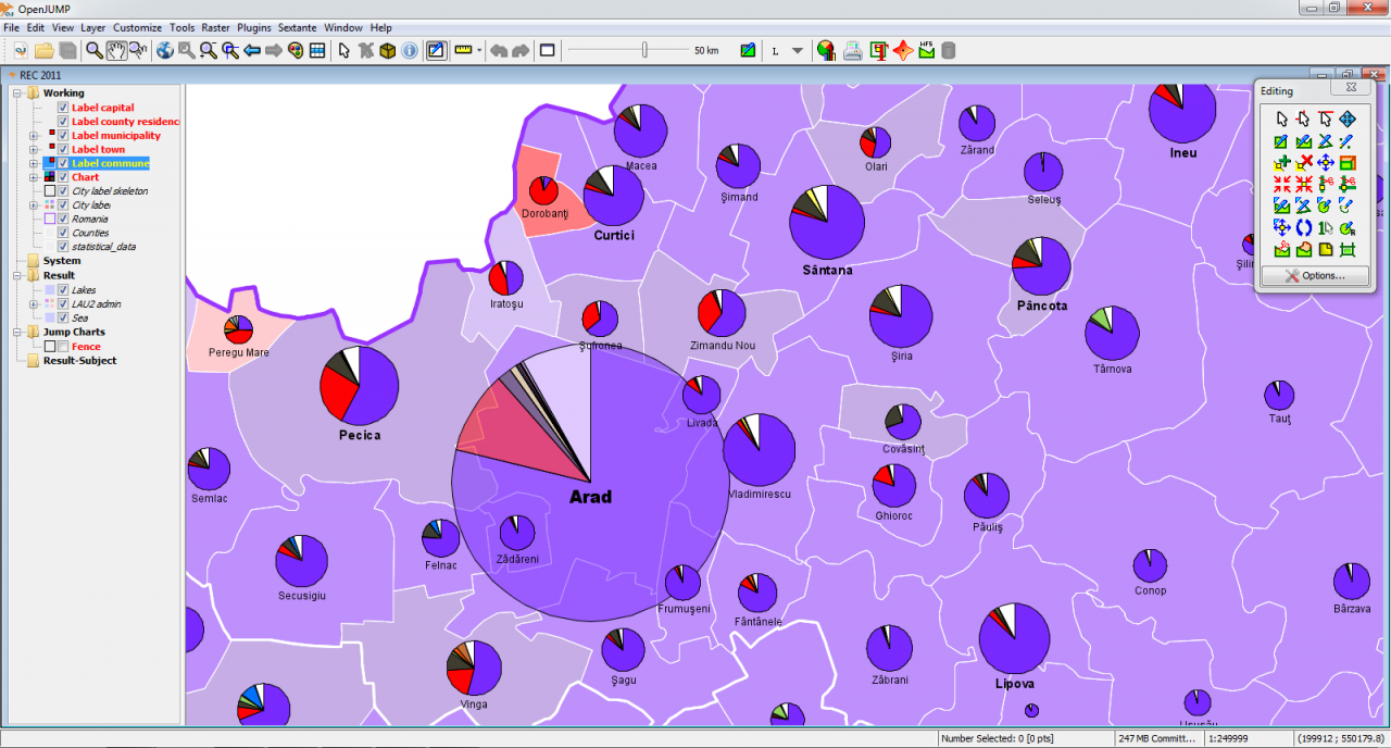
- Vector GIS (that can read rasters as well)
- provides open API & PlugIn system, scripting via BeanShell and Java Python
- edit, save, analyse, conflate and display your GIS data
- strives to handle empty geometries well
- elaborate shortcuts, undo/redo
- Vector formats:
- read DXF*, JML, GeoJSON, GML, SHP
- write DXF*, JML, GeoJSON, GML, SHP, SVG*
- Raster format read support:
- georeferencing per world file or GeoTIFF
- BMP, DCX, FPX, GIF, JB2, JBIG2, JPEG, PAM, PBM, PCX
- PGM, PNG, PNM, PPM, PSD, TGA, TIFF, WBMP, XBM, XPM
- ECW & JPEG2000 (with 32bit Java on Windows, Linux, MacOSX)* incl. in Plus
- MrSID (with oracle jre on Windows, Linux)*
- Raster format write support:
- JPG, PNG
- Database access:
- read PostGIS, ArcSDE*, Oracle*, MySQL*, SpatialLite
- write PostGIS*
- Archives and compressed files:
- read known data formates from zip, tar, tar.gz, tar.bz2 archives or gz, bz2 compressed files
- supports OGC standards WMS & WFS (-T), GML 2, SLD, SFS
- Topology tools: line noder, polygonizer, planar graph,...
- Raster analysis via SEXTANTE connector
- Attribute transfer tools (1:1 transfer, or n:1 transfer)
- calculating length, area, centroid, buffer, convex hull,...
- spatial and attribute query functions
- rotating, scaling, auto-complete polygon, cut, merge, simplify polygons and lines
- warping, quality assurance tools*
- map generalization functions*
- sophisticated print out capability*
- * functionality provided via additional plugin or native libraries, binaries. search the wiki for additional explanations.
About The JUMP Pilot Project
The JUMP Pilot Project is a free software published in the Science list of programs, part of Education.
This Science program is available in English. It was last updated on 29 March, 2024. The JUMP Pilot Project is compatible with the following operating systems: Linux, Mac, Windows.
The company that develops The JUMP Pilot Project is edso. The latest version released by its developer is 2.1. This version was rated by 1 users of our site and has an average rating of 4.0.
The download we have available for The JUMP Pilot Project has a file size of 64.83 MB. Just click the green Download button above to start the downloading process. The program is listed on our website since 2022-08-01 and was downloaded 54 times. We have already checked if the download link is safe, however for your own protection we recommend that you scan the downloaded software with your antivirus. Your antivirus may detect the The JUMP Pilot Project as malware if the download link is broken.
How to install The JUMP Pilot Project on your Windows device:
- Click on the Download button on our website. This will start the download from the website of the developer.
- Once the The JUMP Pilot Project is downloaded click on it to start the setup process (assuming you are on a desktop computer).
- When the installation is finished you should be able to see and run the program.
